
VERTICAL VIEW · KENTUCKY & BEYOND
Aerial Data.
Operational Excellence.
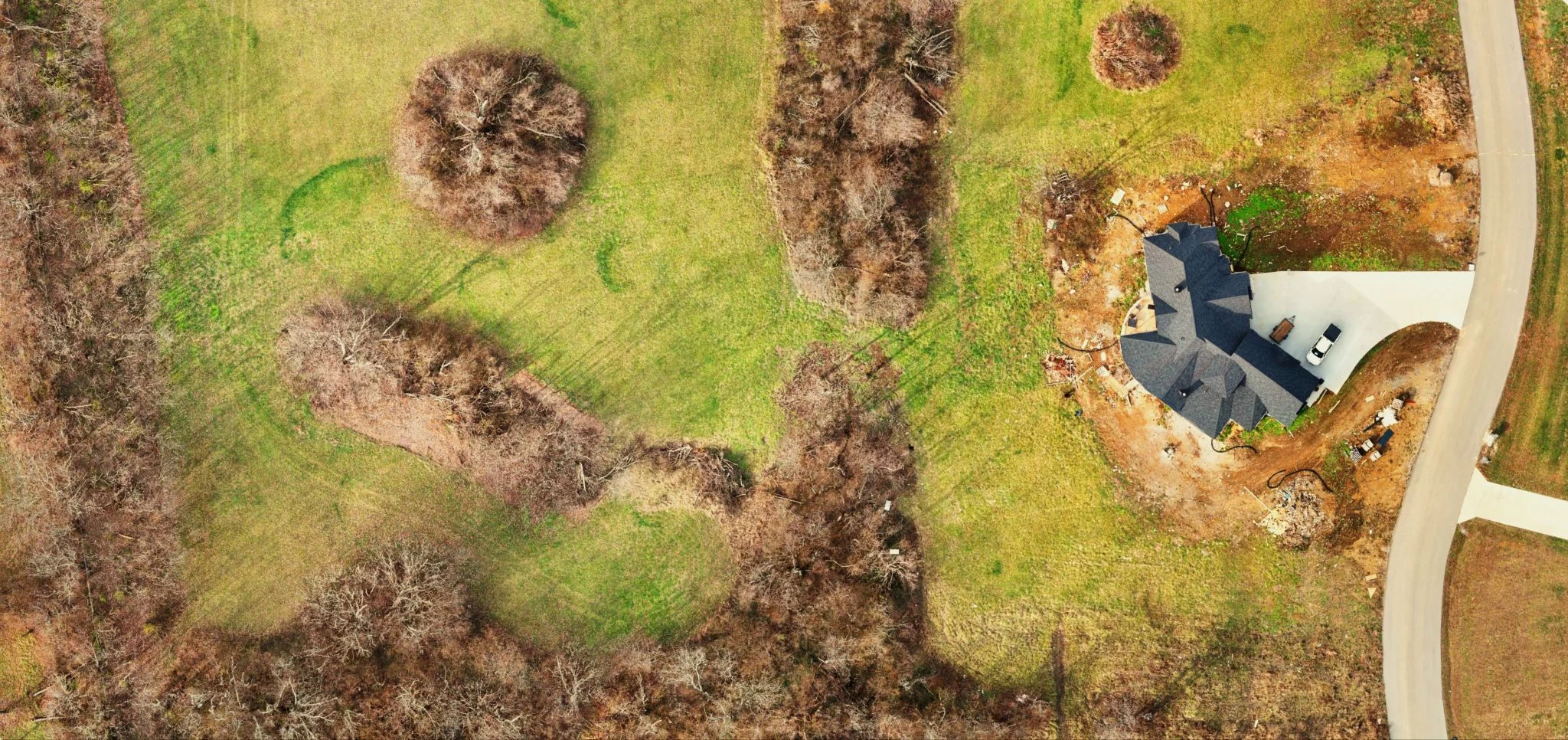
LiDAR, aerial mapping, 3D modeling, photography, and video. Planned around your scope. Prepared for the way you work.
10 years of experience in the surveying industry.
FAA Part 107 pilot.
What We Do
Survey Support
Aerial Data,
Grounded Judgment.
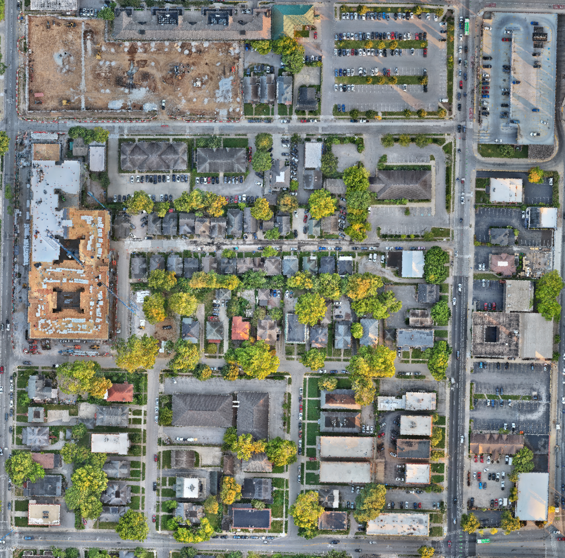
We combine field and office surveying experience with drone operations. We may simply supplement your in-house team when schedules are tight, or provide a complete turnkey aerial solution for your operation.
We approach every project with the end use in mind. Each project has its own demands, and we bring the qualifications, experience, and preparation to meet them.
Scroll to follow the data from capture through delivery. Scroll up to retrace the process.
A drone follows mapping passes across the site as imagery is captured.
-TIE IT ALL TOGETHER-
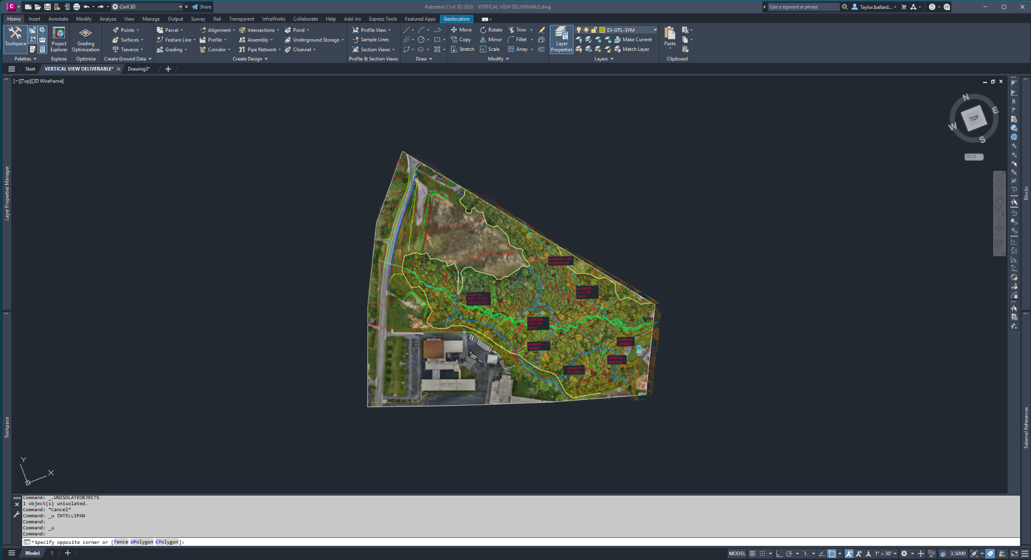
Due to file sizes, please enter your email and we will send you a link to download a .zip file.
Prepared for your workflow. Your layers, your codes, your file requirements.
Orthophotos, point clouds, surfaces, breaklines, coded points, and extracted features, organized to match the agreed scope and your firm’s standards.
Talk Through Your ScopeResponsible Charge & Data Certification
All survey-support data collection is coordinated with and performed under the direction of your licensed surveyor or engineer, who maintains responsible charge of planning, analysis, interpretation, and final deliverables. Vertical View provides aerial data collection and processing support; we do not offer land surveying services or represent our datasets as survey products.
Construction
Mapping · Modeling
Documentation.
Record existing conditions. Follow site changes. Keep a visual record of the work.
- Aerial maps and 3D site models
- Scheduled progress captures
- Project photography and video
EXPLORE A DELIVERABLE
Explore the Site in 3D
Model Controls
MobileOne finger: touch, hold, and drag to pan.
Two fingers: pinch to zoom; touch, hold, and rotate to turn the model.
DesktopLeft-click and drag to pan.
Scroll the mouse wheel to zoom.
Press the mouse wheel and drag to rotate.
Property
Property Mapping,
Modeling.
Show the land, its features, and how they fit together. Aerial maps, interactive models, and imagery for owners, developers, and prospective buyers.
Discuss Your PropertyTailored Projects
Your Project,
Your Requirements.
Custom mapping, modeling, photography, and video. Tell us what the finished product needs to do; we’ll define the capture and processing approach.
Discuss Your RequirementsHow We Work
From First Call
to Final Files.
Set the Requirements
Location, intended use, deliverables, and timeline. We confirm the scope before planning the fieldwork.
Coordinate the Fieldwork
Site access, control, airspace, and project requirements guide the capture plan.
Review and Organize
We process and review the data, then deliver the agreed files and supporting documentation.
What We Use
Hardware
- DJI Matrice 4E
Aerial mapping, photogrammetry, and 3D modeling.
- DJI Matrice 400 / Zenmuse L3
LiDAR, aerial mapping, 3D modeling, and additional specialized applications.
- GNSS Base and Rover Systems
Establishing ground control and independently verifying aerial data.
- Additional Camera Drones
A variety of aircraft for photography, videography, construction documentation, and other specialized applications.
- Additional Equipment as Required
Supplemental equipment selected according to project requirements.
Software
- DJI Terra
- Pix4D
- DJI Modify
- LP360
- Viizor
- Autodesk Civil 3D
- Trimble Business Center
- Adobe Premiere Pro / Photoshop
- Client-specified software as needed
Vertical View’s Foundation
Taylor
Ballard.
Taylor brings 10 years of surveying industry experience across field collection, office production, project coordination, and client relations. His background includes work on topographic, ALTA, construction layout, right-of-way, as-built, and pipeline surveys.
That experience informs how Vertical View plans fieldwork, reviews aerial data, and prepares deliverables for the people who rely on them.
One Contact · Start to Finish
Consistency matters. Rest assured that you will work with the same point of contact from initial scope through delivery. Clear, timely communication keeps you informed on scheduling, progress, and next steps.
Discuss Your Project
Tell Us About
Your Project.
Share the site location, approximate acreage, requested deliverables, and timeline. We’ll review the requirements and prepare a scope and proposal.
Guaranteed response within 24 hours
Taylor Ballard · Owner
Serving Kentucky and beyond.